This is a brief guide – a collection of quick facts – for those that want to hike Gröna Bandet.
Introduction
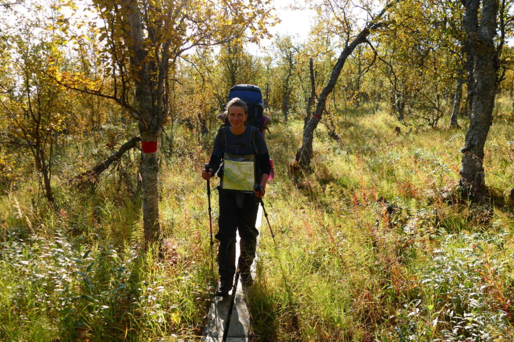
Gröna Bandet (direct translation: The Green Ribbon, short: GB) is a hiking challenge to walk from Treriksröset (where the Swedish, Finnish and Norwegian borders meet) to Grövelsjön (the southernmost STF mountain station, arguably the endpoint of the Swedish mountain range) – or vice versa. There is no specified route or hiking trail that has to be followed; participants choose their own route (subject to some constraints). We have hiked GB in 2018 as part of a longer hike (from the North Cape to Mora in Dalarna). These quick facts only focus on our actual GB hike from Treriksröset to Grövelsjön.
A word of caution: All information here is based on our experience in 2018. There may be errors, omissions or outdated information. Take the preparation for your GB hike seriously.
Our route
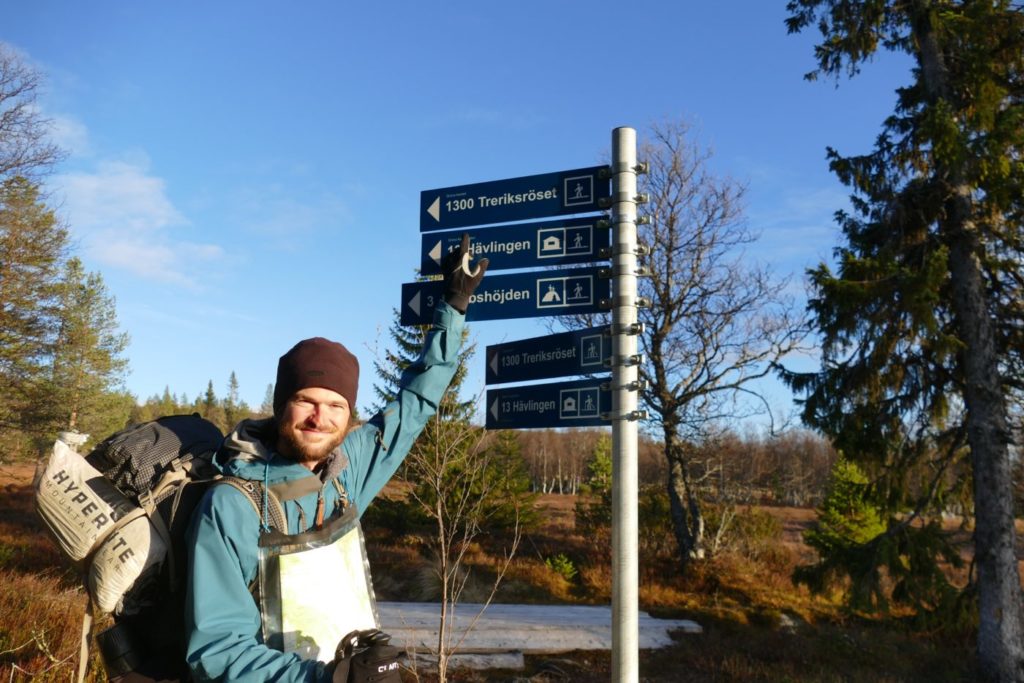
- Start: Treriksröset, August 1, 2018
- End: Grövelsjön, October 20, 2018
- 81 days, including 5 zero days (no hiking) and 19 short days (15km or less)
- Brief route description (details further below): Treriksröset, Nordkalottleden (mostly in Norway), Abisko, Ritsem, Padjelantaleden to Kvikkjokk, Kungsleden and Vindelvaggileden to Hemavan, Gäddede, Lierne National Park (Norway), Valsjöbyn, Olden, Åre, Vålådalen, Jämtlandsfjäll, Tänndalen, Rogen Naturreservat, Grövelsjön
- Boat transfers: over lake Akkajaure at Ritsem, over the Kvikkjokk delta (Padjelantaleden to Kvikkjokk, Kvikkjokk to Kungsleden southbound), over lake Riebnes (Vuonatjviken)
- Total length: 1454km
Rules
The official Gröna Bandet challenge comes with a small set of sensible rules (no motorized transport, no support team, etc.). The exact rules can be found here. If you want to participate, there is a registration fee to be paid, which entitles you to some benefits.
Resupplies
- We had six resupply packages sent via Bussgods with the help of our family: to Abisko (STF), Ritsem (STF), Kvikkjokk (STF), Hemavan (STF), Valsjöbyn (Valsjöbua grocery store), and Skarvruet (STF Fjällhotel). We contacted these places in advance to ask whether they are willing to receive and store packages.
- We bought supplies in Kilpisjärvi (just before Treriksröset, large supermarket), Jäckvik (small store), Hemavan (large supermarket), Gäddede (medium supermarket), Valsjöbyn (super-friendly small store), Åre (large supermarket).
- We used gas cartridges (Primus-style screw), which we bought along the way. We never encountered difficulties buying those at sport shops or grocery shops. As we weren’t sure in advance whether cartridges are available, this resupply strategy was a bit of a gamble. However, in retrospective, our fuel choice was sensible and convenient.
Equipment
- It’s a Gröna Bandet requirement to carry an emergency beacon such as devices offered by SPOT or InReach. We carried a SPOT gen3, but cannot really recommend it. It is not particularly reliable, expensive, and doesn’t give feedback whether a message has been sent succesfully.
- Choosing shoes for GB is a bit difficult and depends on your preferences. Some walk with heavy hiking boots, some with light trailrunning shoes. We started with light (ankle-high) Goretex hiking boots and were quite happy with them in July and August. Since we started at the North Cape our hike was far from finished then and our shoes were falling apart. With autumn well underway, we decided to buy proper Lundhags boots (Tjakke Mid). We were very happy to have these almost-watertight boots for trekking in cold weather through boggy and wet terrain and always had dry feet. However, these boots would have been very uncomfortable during the hot days in July.
- For wading rivers, we had light running shoes that dry quickly. Having „proper“ shoes for fording rivers (and not just Crocs) was important in Sarek and Lierne Nationalpark. If you choose your route to avoid serious river-crossings, Crocs will probably be fine.
- We have used Outdoorkartan 1:75,000 and Calazo 1:100,000 maps.
Further remarks
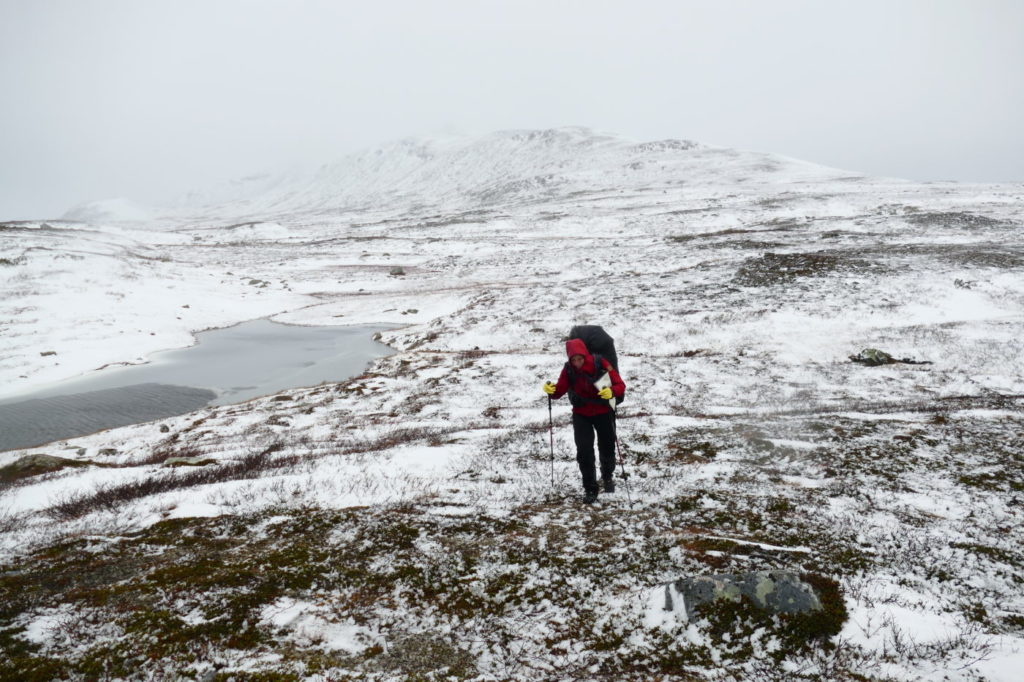
- Both directions (south- or northbound) have their merits. Hikers that start early (June) generally go north, those that start late (August) go south. Expect large snow fields in June and new snow from late September. Actually, since you are in the mountains, expect pretty much any weather.
-
STF huts are a cornerstone of hikers‘ life in the Swedish mountains. If you would like to meet and connect with other hikers, STF huts are the place to go! In particular, much can be learnt by speaking to the „stugvärd“, the cabin ward. Please keep in mind though that the wards are volunteers – so help them! Cutting wood, fetching water, cleaning the hut, etc. are the guests‘ responsibilities.
-
DNT huts (the Norwegian equivalent to STF) might also be an option for you if you decide to partially walk in Norway. Staying in DNT huts is cheaper than STF huts. DNT huts usually do not have cabin wards. Important: you need a DNT key to open these huts!
- Some huts in Sweden are maintained by the regional goverments (länstyrelse). We would like to recommend the wonderful huts in Västerbotten, which provide cheap and cozy shelter from rain, snow and mosquitos. There is a map app showing the location of all huts. The huts along the Vindelvaggileden have to be reserved in advance.
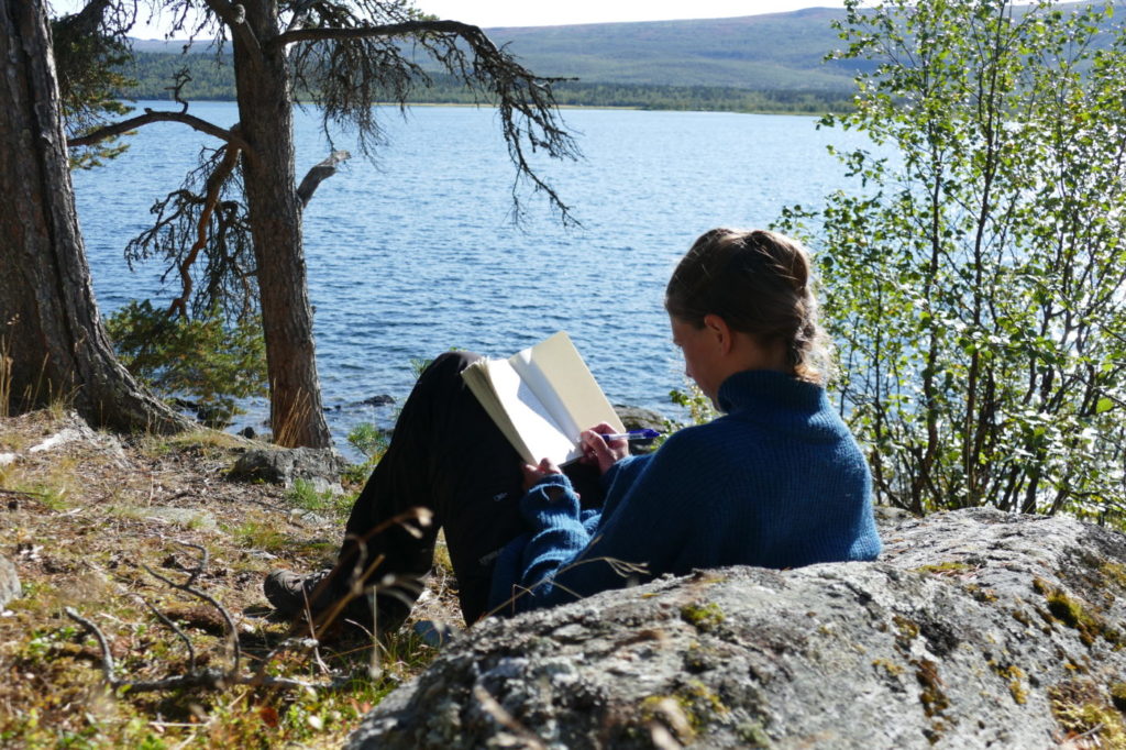
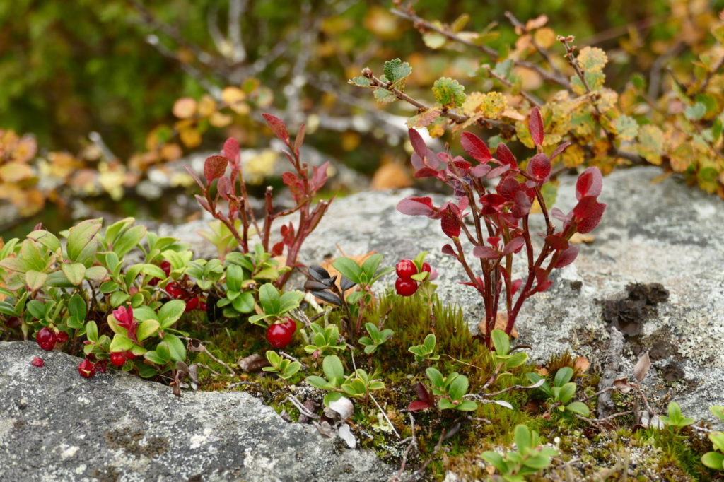
- If you would like to do a bit more of hiking than “just“ GB, there are quite a few great options. We started at the North Cape and hiked via Kautokeino to Treriksröset, where we started our GB. After reaching Grövelsjön, we continued along the so-called Södra Kungsleden to Sälen and from there on the Vasaloppsleden to Mora, our final goal. This route took us four months and we enjoyed it very much. One could, of course, continue from there further south, maybe to Sweden’s southernmost point Smygehuk or to Stockholm. That being said, there are very good reasons to focus on GB even if you have sufficient time on your hands. You could hike up a few mountains along the way, have more relaxing rest days, enjoy detours and explore the wilder nature beside the trails.
A wish
Finally, a wish to future GB hikers: if you are out in the Swedish mountains for such a long time, you will encounter – rather sooner than later – trash left behind by other hikers. Especially established tent spots along the Kungsleden and wind shelters are often abused as trash dumps. Please use your long hike to collect some of that trash and carry it to the next bin or STF hut (where trash is collected/burned). If a shelter or tent spot is clean and trash-free, it’s more likely that other hikers feel obliged to keep it that way.
Thanks so much! Enjoy the Swedish mountains!
Recommended blogs and websites
- Official Gröna Bandet webpage
- Anna’s GB blog with lots of trail info
- Joly’s GB blog, great writing and useful tips
- Magnus‘ GB blog (Swedish). Magnus hiked GB later than most and encountered harsh winter conditions. Very recommendable for those that plan to hike late in the season!
- Mark’s GB blog: a GB hiker from the „early days“ (2013). Detailed GB reports can be found from September 2013 to November 2014.
- Finally, we also have GB reports on our blog (although in German).
Detailed route description
The following list details our route by listing some points of interests along the way.
-
Treriksröset to Abisko (192km), mostly along the Nordkalottleden
- Treriksröset
- Pältsastugorna (STF)
- Rostahytta (DNT)
- Dærtahytta (DNT)
- along the Skaktarelva
- Dividalen
- Vuomahytta (DNT)
- Gaskashytta (DNT)
- Innset
- Lappjordhytta (DNT)
- Pålnostugan (STF)
- Abisko Turiststation (STF)
-
Abisko to Ritsem (124km), mostly along the Kungsleden
- The leg between Abisko and Nikkaluokta is the most popular part of the Kungsleden. It is apparent that this part suffers from the masses of hikers each year. You might want to avoid this stretch and instead choose a (more challenging) route in Norway.
- Abiskojaure (STF)
- Alesjaure (STF)
- Sälka (STF)
- Hukejaure (STF)
- Sitasjaure (STF)
- Ritsem (STF)
-
Ritsem to Kvikkjokk (165km), mostly along the Padjelantaleden
- Our original plan was to cross Sarek Nationalpark. We had to abort due to bad weather and hiked the Padjelantaleden instead. The 165km include this Sarek „detour“.
- Akkastugorna
- into Sarek: east of Sjnjuvtjudis mountain, crossing Suottasjjåhka (challenging), crossing Nijakjågåsj (also challenging because of heavy rainfall), returning to Padjelantaleden (in total ~30km in three days)
- Kisurisstugan
- along the Padjelantaleden to Kvikkjokk
-
Kvikkjokk to Hemavan (254km), along the Kungsleden and Vindelvaggileden
- Jäckvik
- Rävfallsstuga
- along the Vindelvaggileden: Vitnjulstuga, Dalavardostuga
- Skidbäckstuga
- Syterstugan
- Hemavan
-
Hemavan to Gäddede (250km)
- Hemavan is pretty much the halfway point of Gröna Bandet. For us, it was also the beginning of proper autumn, with winter following closely in its steps.
- across Jofjället
- Atostugan (not for staying overnight)
- Arevattnet (länstyrelse hut)
- Skalmodal
- Åtnikstuga (länstyrelse hut)
- Tjåkkelestugorna (länstyrelse hut)
- Klimpfjäll
- Slipsikstuga (länstyrelse hut)
- Ankarede
- Väktarmon
- The paths further to Gäddede are mostly non-existent and lead through marshland. Expect to walk cross-country in this section. In particular, the bridge north of Långflyn does not exist (see here).
- Gäddede
-
Gäddede to Åre (263km)
- Our plan was to cross the Lierne national park by mostly following the Swedish-Norwegian border (based on Magnus‘ route). This did not work out due to a snow storm. Instead we followed the Avandsbäcken into Norway and descended to the Strivasshytta (has to be booked in advance).
- Sørli (Norway)
- Valsjöbyn
- Jännsmässholmen
- Olden
- Kallsedet
- Huså
- Åre
-
Åre to Grövelsjön (223km)
- Undersåker
- Vålådalen
- Vålåstugorna (STF)
- crossing the Härjångsån (Warning: no bridge off-season, i.e., when Vålåstugorna is closed)
- Helags Fjällstation
- Ramundberget
- STF Vandrarhem Skarvruet
- Skedbrostugan (STF)
- Rogenstugan (STF)
- Storrödtjärn (STF)
- Grövelsjön!
Map of our hike
The following map shows our full hike from the North Cape to Mora.